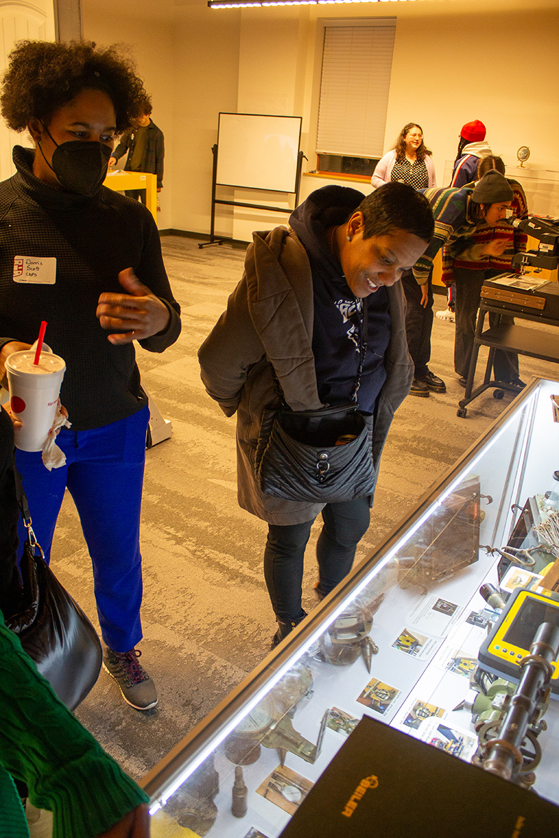
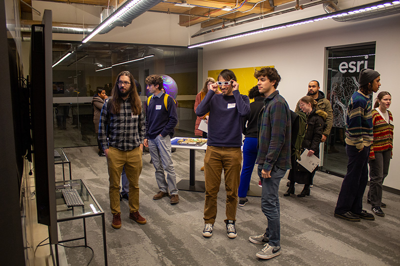
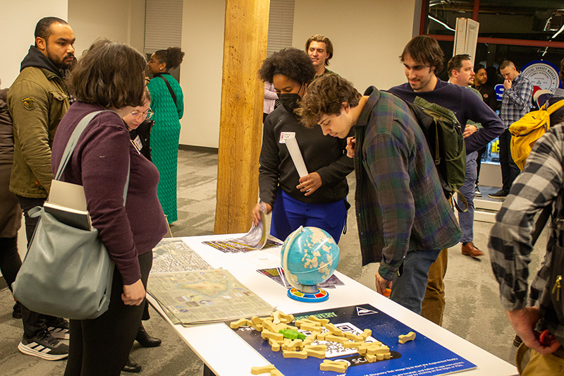
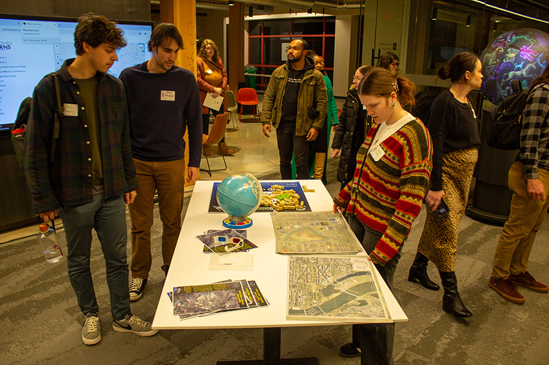
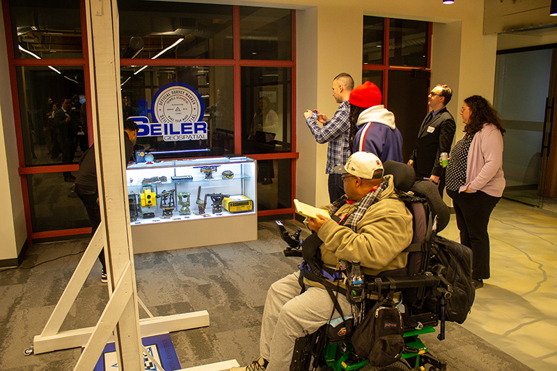
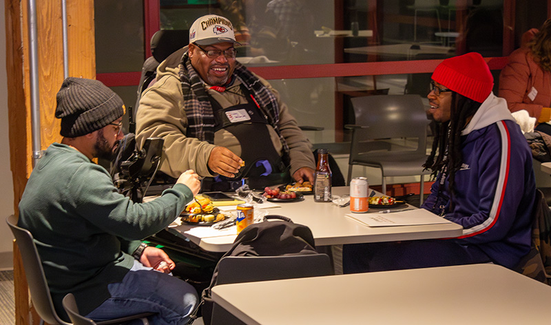
A partnership between WashU Continuing & Professional Studies (CAPS) and T-REX is opening doors for students eager to explore careers in the dynamic geospatial industry. In late January, prospective students interested in CAPS’ Geographic Information Systems (GIS) Certificate program gathered at T-REX to discover how GIS is transforming St. Louis’ workforce and to gain insight into potential career pathways.
T-REX, a regional non-profit innovation hub, fosters entrepreneurship and workforce development. Home to nearly 200 companies and innovation organizations, T-REX proudly partners with the National Geospatial-Intelligence Agency (NGA) to support advancements in the geospatial field.
The CAPS GIS Certificate is an 18-credit program that equips students with fundamental and advanced GIS skills. The curriculum covers project design, software operation, cartographic output, spatial analysis, and industry-specific applications to prepare students for a range of careers in the field.
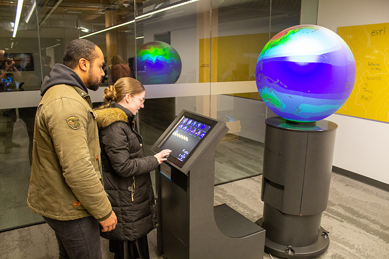
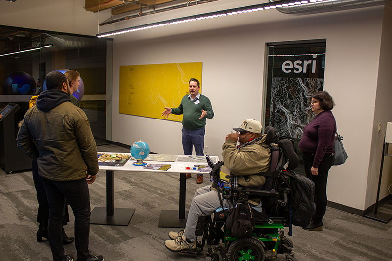
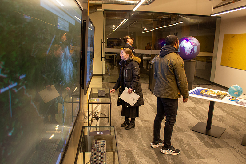
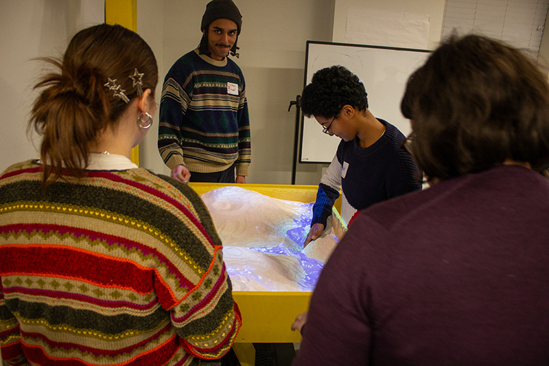
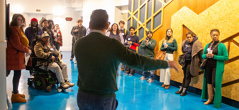
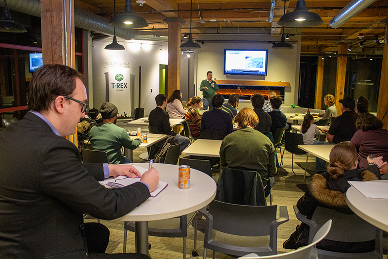
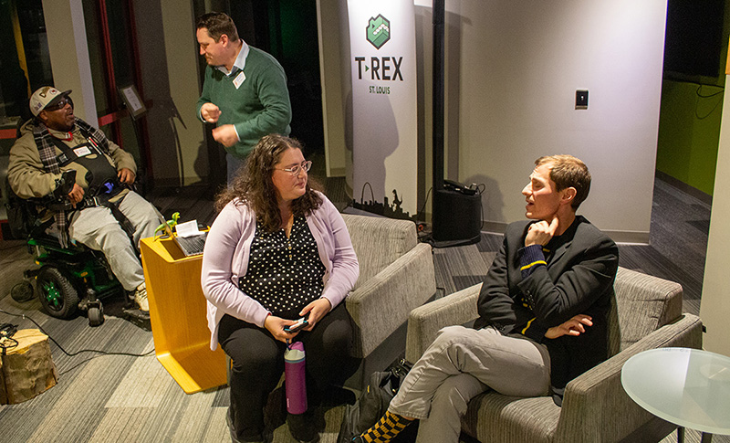
The event began with a guided tour of T-REX’s facilities, followed by an engaging presentation from T-REX Tearline Director Dr. Nathanael Bassett.
“Geospatial intelligence is the exploitation and analysis of imagery and geospatial information to describe, assess, and visually depict physical features and geographically referenced activities on Earth,” Bassett said, emphasizing how geospatial systems help answer critical questions about movement and location. “Understanding the world is something we can do spatially through maps.”
Bassett highlighted the interdisciplinary applications of geospatial technologies, demonstrating how fields such as anthropology and computer science leverage GIS to solve complex problems.
Dorris Scott, CAPS Academic Director of Data Studies, provided an overview of the GIS Certificate program, stressing its flexibility and accessibility.
“Providing flexibility for our students is extremely important,” she said. “The GIS Certificate program is offered entirely online, so you can take it from the convenience of your home or even while traveling.”
Scott also emphasized the program’s strong support system, including faculty with industry expertise, GIS workshops, software assistance through WashU Libraries, and dedicated academic and career counseling.
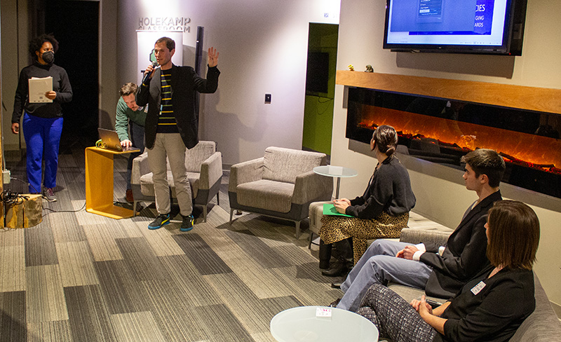
The event concluded with an insightful panel discussion featuring industry experts, each sharing their unique journeys into the GIS field and offering guidance for aspiring professionals.
“A lot of people in the industry today kind of stumbled into it,” said Dana Stuckey, a senior manager on the Maxar Precision 3D production team with over 20 years of experience in the geospatial industry. “A lot of the work that I’ve done has supported NGA, and now at Maxar, we’re creating digital surface models and digital terrain models from satellite imagery.”
Stuckey emphasized the versatility of GIS, stating “Everything has a location. There are so many possibilities that you can pair with this kind of education.”
Charles McGrath, a WashU student minoring in GIS and a former radar image scientist intern for NGA, echoed this sentiment.
“I thought GIS was mostly about making maps, but I learned that it’s so much more than that—there are tons of applications,” he said.
Lacee Cofer, a GIS Analyst for the National Tribal GIS Support Center, shared how GIS unexpectedly became her career path while she was studying forensic anthropology.


“For our final project, I did a geo-referencing project on historical maps of the Cahokia Mounds,” she said, explaining how this led to an internship with the Seminole Tribe in Florida. “A few years later, I was managing the GIS program for the tribal historic preservation office and it really just kind of snowballed from there.”
Paul Scimone’s unconventional path to GIS showcased the field’s accessibility. With degrees in jazz piano, business administration and veterinary technology, Scimone discovered GIS while in the Air Force and found a new passion.
“It was just so immersive and cool,” shared Scimone who went on to earn a master’s degree in GIS and become a technical analyst at ESRI, a global leader in GIS technology.
“I think there’s so much to learn within GIS,” he said. “It’s endlessly challenging and constantly stokes your curiosity. Whether you’re interested in crime statistics, poverty mapping, or environmental changes, GIS provides a spatial perspective that can help address real-world issues. There’s so much you can do to help the world.”
For students considering GIS, the event highlighted the industry’s broad applications, career potential, and the hands-on learning opportunities available through the CAPS GIS Certificate program. With its flexible online format, strong faculty support, and direct industry connections, the program offers an accessible and impactful way to enter the rapidly growing geospatial field.