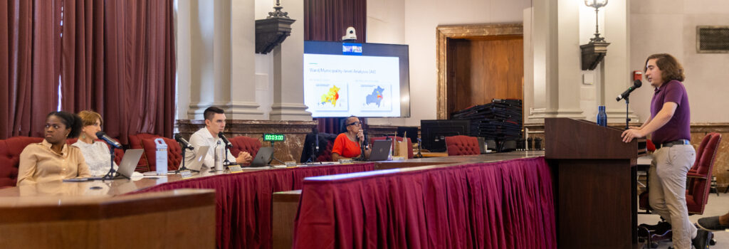
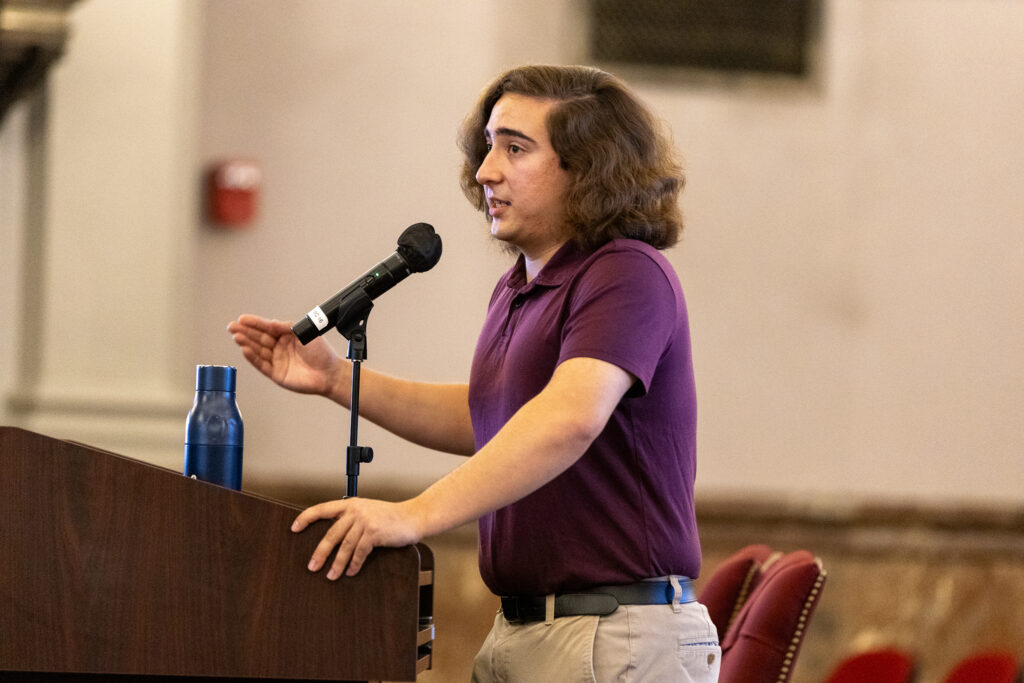
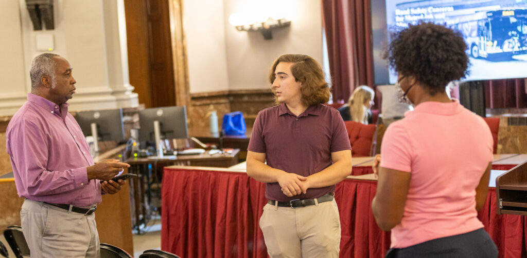
On September 24, Griffin Lovato, a recent graduate of the Graduate Certificate in Geographic Information Systems (GIS) program at WashU Continuing & Professional Studies (CAPS), stepped into City Hall to present his capstone project before the St. Louis City Public Infrastructure and Utilities Committee. His maps, developed in partnership with local nonprofit Trailnet, revealed the MetroLink and MetroBus stops most dangerous for pedestrians and cyclists—data now in the hands of city leaders working to improve safety.
Lovato’s analysis layered crash data with details like accident year, lighting conditions, and municipal boundaries. Trailnet staff, who had guided the project, praised the quality and relevance of the findings.
“Griffin’s maps gave us a tool to go into City Hall with real data to push for safer streets,” said Charles Bryson, Policy Catalyst at Trailnet. “Collaborating with CAPS students brings in high-quality data that we can immediately put to use in our advocacy.”
The partnership reflects CAPS’ mission to connect students’ learning with real-world impact—giving learners the chance to solve pressing challenges while supporting community organizations.
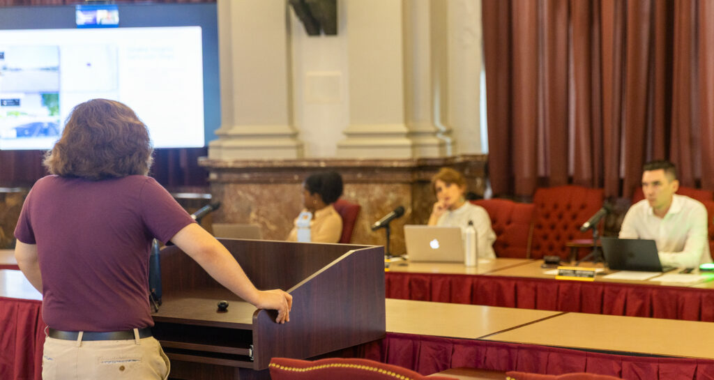
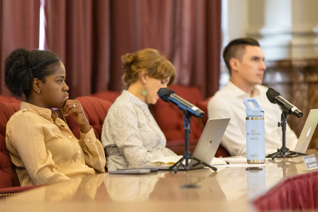
Committee Chair and Alderman Michael Browning emphasized that the project arrived at a critical moment. The city is preparing to establish a Department of Transportation by 2029 to replace its fragmented approach to transportation safety.
“Right now, responsibility for transportation safety is spread across multiple departments and agencies, and that diffuse system hasn’t worked well. This kind of data is exactly what the new department will need to set priorities,” Browning said. “We can clearly see which corridors are the most dangerous, and that tells us where to focus our efforts.”
He added that the information presented could already guide immediate action. “Until we actually move to that DOT, individual alders can use the data presented today to look at the streets and figure out what can be done now to make them safer,” he said.
Browning also emphasized the importance of collaboration and funding: “The state of Missouri needs to fund Bi-State to improve safety around bus and MetroLink stops. Public transit should be safe for everyone, regardless of income or neighborhood.”
He highlighted the role of universities like Washington University in producing the next generation of skilled professionals and actionable research.
“The city is lucky to have universities generating this kind of talent. People like Mr. Lovato are using their skills to improve our community, and we hope they continue to do so here in St. Louis.”
For Lovato, the project was also deeply personal.
“I’ve always loved maps—I used to draw them as a kid,” he said. “GIS let me turn that passion into something real and useful.”
He added that the experience at CAPS was transformative.
“CAPS opened doors for me that I didn’t even know existed. I just wish more WashU students knew about these opportunities—it’s underutilized, and it can change lives.”
The project highlighted the mutual benefit of university-community partnerships. Trailnet gained actionable data to strengthen its advocacy, while city leaders gained a tool to guide near-term improvements and future planning. For Lovato, the capstone was both a professional milestone and a launching pad for his next steps.
“GIS is still underutilized in many fields,” he said. “I want to be a proponent for showing just how powerful it can be. To be able to stand in front of city leaders and share my work—it shows me what’s possible when you apply GIS in real ways.”
Lovato’s maps will continue to inform conversations about safer infrastructure in St. Louis, but they also stand as a reminder of CAPS’ mission: to give modern learners the tools to turn education into opportunity—for themselves and for the communities they call home.