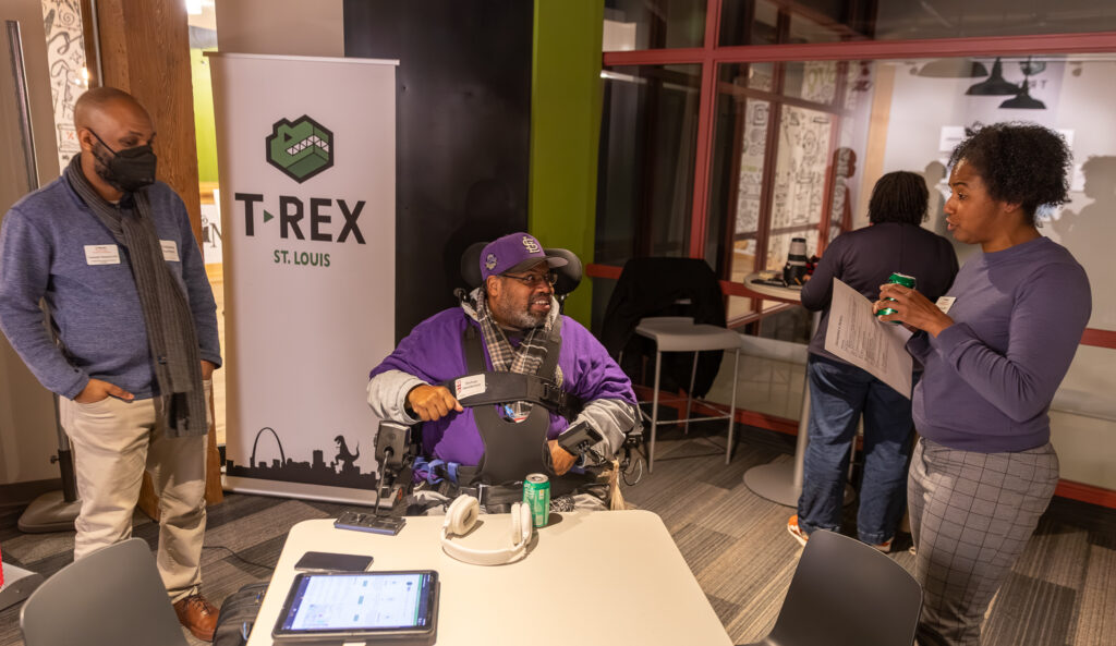
For the second year in a row, WashU Continuing & Professional Studies (CAPS) hosted Geospatial in Motion at T-REX, bringing together students, educators and industry professionals to explore the evolving role of geospatial technology in today’s workforce.
This year’s event centered on GeoAI—the intersection of geographic information systems and artificial intelligence—and highlighted CAPS’ new Certificate in Applied GeoAI.
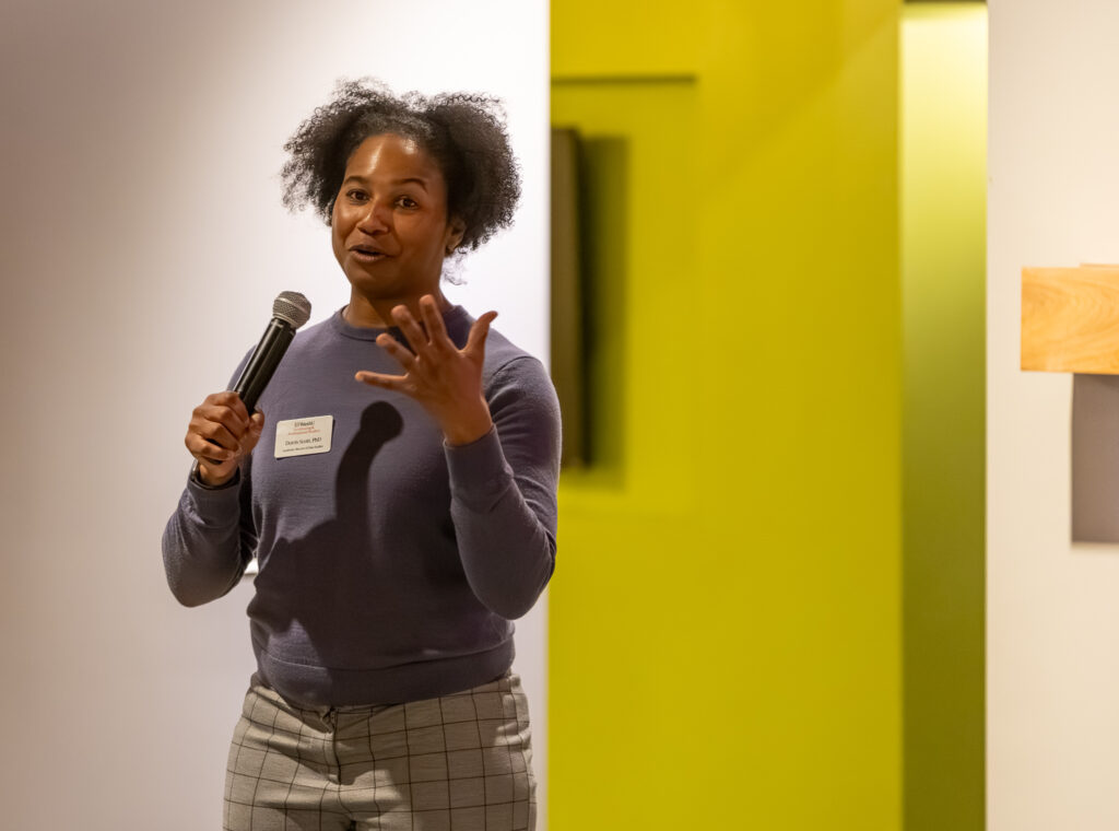
The evening opened with remarks from Doris Scott, academic director of data studies at CAPS, who emphasized the program’s alignment with regional and state workforce priorities.

“We’re hearing consistently that GeoAI is going to have a strong presence in St. Louis,” Scott said, noting that both industry leaders and state agencies are prioritizing GeoAI as a critical skill set.
“This certificate was created to meet that demand and help build a workforce that’s ready for what’s next.”
Scott described the Certificate in Applied GeoAI as an accessible pathway for a wide range of learners—from professionals with years of GIS experience to those who have completed an introductory GIS course and are exploring what comes next.
“When people hear GeoAI, they often think they need advanced coding or machine learning experience,” she said. “That’s not the case. This program is designed for GIS practitioners who want to add GeoAI and imagery analysis to their skill set without being intimidated.”
She also highlighted the critical role of WashU Libraries in supporting students enrolled in the certificate. Through Data Services, students have access to advanced GIS software, high-performance computing resources, and expert support. “Our library is a huge asset,” Scott noted.
“Students can remotely access powerful machines, specialized software, and staff who truly understand geospatial workflows.
“That level of support removes barriers and allows students to focus on learning and applying these skills.”
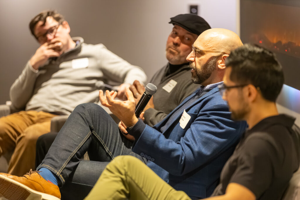
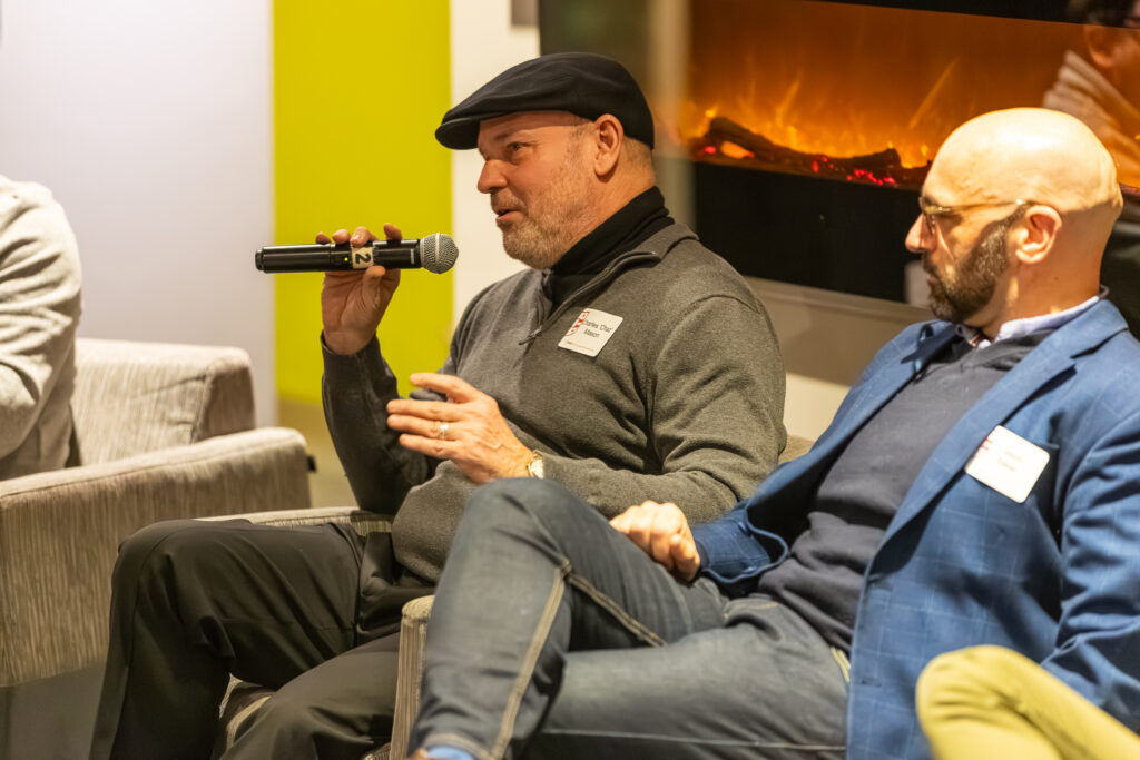
Following the program overview, the event shifted to a panel moderated by Dr. Nathanael Bassett, T-REX Tearline Director, who framed GeoAI as a practical lens for understanding the world and a tool with growing relevance across industries.
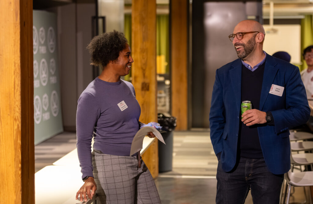
He was joined by Jason Baker, an AI strategist and IT program manager with more than a decade of experience advancing geospatial and AI-driven solutions for national security programs at Booz Allen Hamilton; Caleb Buffa, a data scientist at Esri whose work focuses on city-scale 3D computer vision at the intersection of GIS, graphics and artificial intelligence; and Charles “Chaz” Mason, a systems engineering fellow at Assured Consulting Solutions with decades of experience delivering geospatial technologies for the Department of Defense and intelligence community.
Together, the panel explored how GeoAI sits at the intersection of geospatial science, artificial intelligence and decision-making, and what that convergence looks like in practice.
Across the discussion, panelists emphasized that GeoAI’s promise extends beyond technical capability to real-world impact—helping organizations interpret complex environments, identify patterns at scale and make more informed decisions.
They discussed how geospatial context strengthens AI-driven analysis, while also noting that trust remains a central challenge.
Because maps and models can appear definitive, the panel underscored the importance of explainability: understanding how outputs are generated and being able to clearly communicate assumptions, limitations and uncertainty to nontechnical audiences.
The conversation also addressed data quality and ethical considerations that accompany large-scale geospatial modeling. Panelists noted that biased, incomplete or unevenly distributed data can lead to misleading results, particularly when models are applied beyond the context in which they were developed.
They discussed how issues of scale, generalizability and access to computing power shape who benefits from GeoAI, raising broader questions about equity and the need to ensure these tools are not limited to only the most well-resourced organizations.
When discussing career preparation and skill development, the panel consistently returned to fundamentals. A strong grounding in GIS concepts, an understanding of how data moves and is operationalized, and hands-on experience working across disciplines were all highlighted as essential.


Panelists also reinforced that effective practitioners know when AI is the right tool—and when traditional methods are more appropriate—underscoring that sound technical judgment remains as important as emerging technology.
To close the evening, the conversation reinforced that GeoAI is not a niche specialty but an increasingly foundational skill set across geospatial careers.
As demand grows for professionals who can work at the intersection of data, location and artificial intelligence, CAPS’ Certificate in Applied GeoAI is positioned as a practical, accessible pathway for learners looking to expand their expertise and stay competitive in a rapidly evolving field.
“The Certificate in Applied GeoAI is one example of how CAPS partners with industry, faculty and the broader St. Louis ecosystem to ensure relevant and future-focused programs,” said CAPS Dean Sean Armstrong. “Our goal is to introduce learners to new tools, and to help them ask better questions, interpret results critically and apply their skills with confidence and judgment.”
For those interested in building GeoAI skills through flexible, workforce-aligned education, CAPS’ Certificate in Applied GeoAI offers a fully online, project-based curriculum supported by expert faculty, academic coaching and career development resources. Learn more about the certificate program and upcoming courses at https://caps.washu.edu/programs/certificates/certificate-in-applied-geoai/.